Winter Weather Coming Tonight In Mid-Michigan
Expect to see some snowfall and some seriously cold temperatures tonight that will potentially drag out until Thursday afternoon.

Temperatures are forecast to fall to the 20s on Tuesday and Wednesday nights.
This has prompted a freeze watch that will go into effect for parts of Lower Michigan, including Gratiot County, at 8 p.m. Tuesday and last until 11 a.m. Thursday.
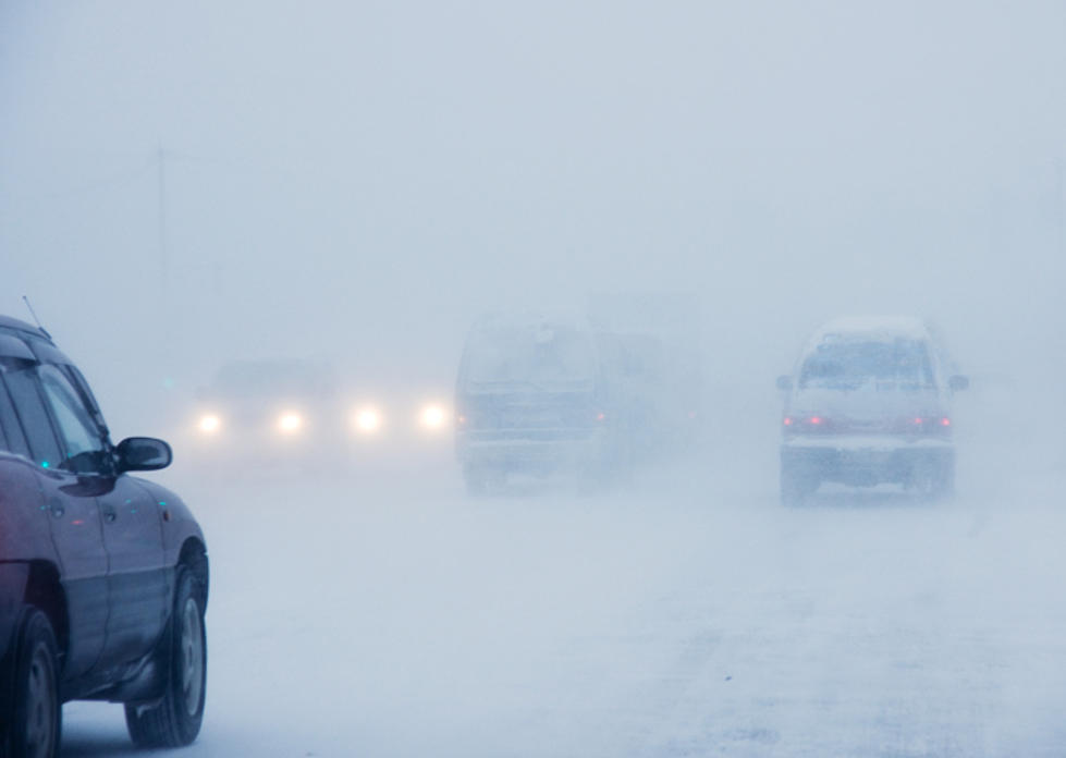
Any advisory that suggests freezing with snow you can expect to see wildness on the roads. Especially on these highway ramps in Michigan. I almost treat it like a game now. I try and count up how many cars spin off the highway ramps every year. Last year I personally saw a total of 5 in one winter! Now, that's me personally seeing the crash but I'm sure the amount of car crashes that happen last year due to slippery roads in Michigan is a crazy amount.
The chance of rain and snow will become a chance for all snow Tuesday night into Wednesday morning. Forecast models suggest that an inch or two of snow could accumulate near the I-69 corridor, with lesser amounts northward. Any snow would collect first on cooler surfaces, including grass, overpasses and parked cars. Source:NBC25.com
Drive safe these next few days!
SEE MORE: How to Prevent Snow Melt Flooding
More From Club 93.7