This Is What Hurricane Florence Would Look Like Over Michigan
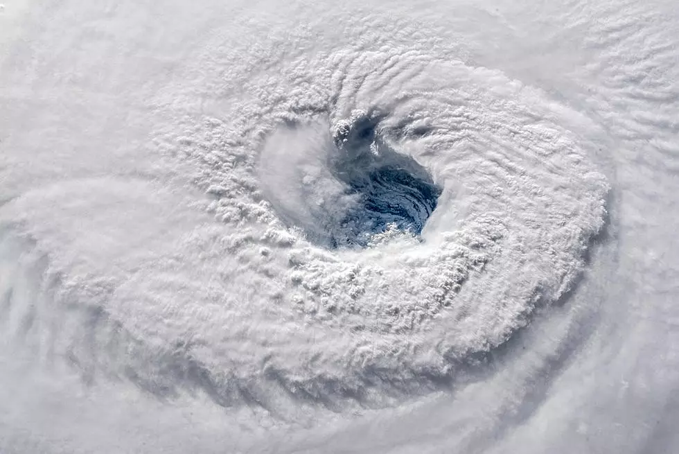
Putting a satellite image of Hurricane Florence over Michigan helps to show just how massive the storm is.
Seeing images of the storm over the ocean can make it hard to tell just how big it is, but when you see that the storm covers our entire state is a different story.
The storm is set to make landfall today on the Carolina coastline. The storm is very slow moving and will be over the area at least until Saturday. This causes more problems than just the storm surge, and high winds. The storm may dump 40 inches of rain on the area according according to the National Weather Service.
The National Hurricane Center at the National Oceanic and Atmospheric Administration has multiple looks at Hurricane Florence and the entire country via satellite and enhancements. We've taken an image of the hurricane, added color to show contrast in the clouds, then placed the image over Michigan to show its size.

You can follow updates about Hurricane Florence here as it makes it's way toward land and afterward.
Experts have predicted catastrophic damage from the storm, and there will definitely be many people in need of help. Charitable organizations are already mobilizing efforts to be there when the storm weakens. If you would like to help out in any way, here is a resource on different ways you can help those affected.
More From Club 93.7