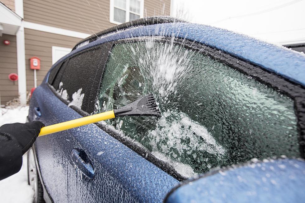
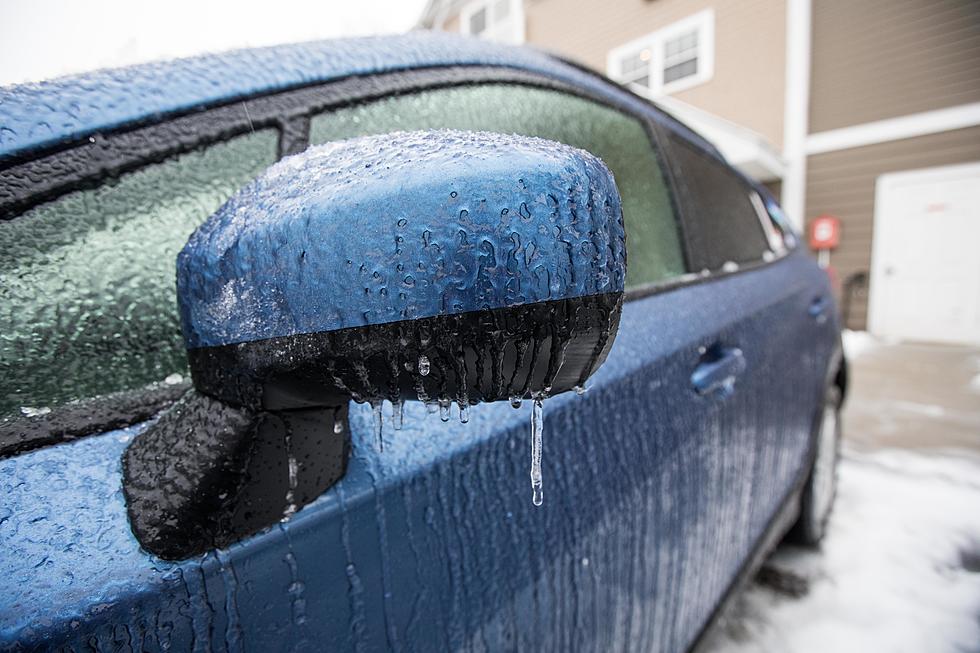
Weather Advisory: Ice & Snow Headed To Flint
Today might bring somewhat nice temperatures but high winds combined with rain and snow over the next 24 hours are definitely gonna cause a few car crashes.

A Wind Advisory is in effect for Mid-Michigan from 11:00 Wednesday morning until 8:00 Wednesday night. Winds out of the south-southwest will gust as high as 45 mph today and tonight.
A Winter Storm Watch is in effect for Genesee, Lapeer and Sanilac counties from tomorrow morning until late tomorrow night. Source:NBC25.com
The party is supposed to start with over half an inch of rain today. Oh but wait, there's more! Reports are showing that wind gusts are gonna kick up to around 45 mph per hour late Wednesday afternoon. That's strong enough to push some trash cans over and knock down some yards signs. Then the cold front is gonna creep in late Wednesday night into Thursday morning followed by 3 to 6 inches of snow.
You know what that means right? Pure chaos on these Michigan roads! I don't trust Michigan drivers when the roads are dry. Be careful over the course of these next few days. Ice is supposed to develop early tomorrow morning which is when the most accidents happen. Mainly people driving to work every day are the ones that are the most dangerous on the roads. Especially if you've been driving your morning route every day and you go into autopilot (We've all been there). Just be more attentive Thursday morning, it could save you a lot of money and headache.
TIPS: Here's how you can prepare for power outages
More From Club 93.7